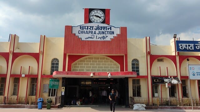
Chhapra District (Saran), Bihar: A Brief Profile
Chhapra, often referred to as Saran district, is one of Bihar’s most vibrant and historically significant regions. Situated at the confluence of the Ghaghara and Ganga rivers, Chhapra has long been a strategic location for trade, culture, and governance.
Geography and Administration
Covering an area of approximately 2,641 square kilometers, Chhapra features rich alluvial lands ideal for agriculture. The district lies between 25°47′N to 25°55′N latitude and 84°43′E to 85°15′E longitude. It comprises 3 civil sub-divisions, 20 community development blocks, and 1,783 villages. The headquarters is Chhapra city, a growing urban hub with municipal status since 1864.
Chhapra is notable for its connectivity; the major railway junction and upcoming double-decker flyover (3.5 km)—the lon...

